
Unraveling the Best Techniques for Reality Capture on Construction Sites
- Ankit Singhai

- Jul 16, 2023
- 3 min read
Updated: Jul 16, 2023
The best way to collect site data is a hotly debated issue in the constantly changing world of construction. In order to research this problem, the Oracle Industry Lab experimented in November, testing various methods to ascertain the most effective and accurate method of project documentation. The experiment used mobile and stationary LiDAR, robot-mounted scanners, structured light 3D scanners, piloted and unpiloted drone video and photography, 360-degree videos, and standard smartphone videos.
The experiment was designed to give contractors a better understanding of the best equipment to use for various jobs. The idea was to select the reality capture technology that would work best for each project in order to prevent problems before they arise. This extensive experiment is the first of its kind, testing a variety of technologies in a practical environment.
Expanding on the Experiment
The original article gives a brief summary of the experiment run by the Oracle Industry Lab, but it doesn't go into great detail about the particulars of each technology tested or the standards used to judge their efficacy. Let's examine each of these technologies in more depth to provide a more thorough understanding.
LiDAR
LiDAR, or Light Detection and Ranging, is a remote sensing method that uses light in the form of a pulsed laser to measure distances. It can be mobile or stationary and is frequently used in construction to produce accurate 3D models of a site. In order to compare the performance of stationary and mobile LiDAR, an experiment was conducted.
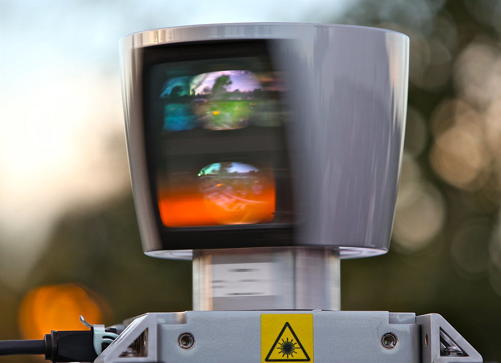
Robot-Mounted Scanners
Another tool for taking precise 3D images of a construction site is Robot-Mounted Scanners. These scanners can be attached to a robot that can move around a location while collecting data from various angles and viewpoints.
Structured Light 3D Scanners
A series of linear patterns are projected onto an object by Structured Light 3D scanners. The scanner can calculate the distance to particular points on the object by observing how the patterns deform, which results in the creation of an accurate 3D model.
Drone Video and Photography
A drone with a camera attached can offer a bird's-eye view of a construction site, taking pictures and videos from perspectives that are challenging or impossible to achieve from the ground. Both piloted and self-piloted drones were put to the test in the experiment.
360° Videos and Smartphone Videos
360° videos, which simultaneously record images in all directions, enable a thorough view of a location. While they might not have all the advanced features of more specialised equipment, smartphone videos offer a more convenient and affordable way to record video.
Commonly Asked Questions
What is the best method to capture site data in construction? The best method depends on the specific requirements of the project. Factors to consider include the level of detail required, the size and complexity of the site, and the budget for data capture.
What is LiDAR and how is it used in construction? LiDAR is a remote sensing technology that uses light in the form of a pulsed laser to measure distances. In construction, it's often used to create detailed 3D models of a site.
How can drones be used in construction? Drones can be used in construction to capture aerial images and videos of a site. This can provide a unique perspective and can be particularly useful for large or complex sites.
What are the advantages and disadvantages of using smartphone videos for site data capture? Smartphone videos are a cost-effective method of capturing footage, and they don't require any specialized equipment. However, they may not provide the same level of detail or precision as more advanced methods, such as LiDAR or drone photography.
What is a structured light 3D scanner and how does it work? A structured light 3D scanner projects a series of linear patterns onto an object. By observing the deformation of the patterns, the scanner can calculate the distance to specific points on the object, creating a detailed 3D model.


Comments